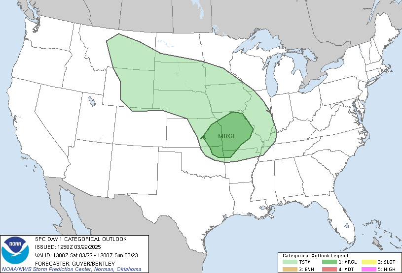
 You see the big blob of rain and storms to our south? Well, this is what we have to look forward to this afternoon into the evening. The areas in blue are showing where the frequent lightning strikes have been the past half hour. You can see they are looking to set up just to the east of us as this system is moving north north east. Areas of KY, Extreme South IN, and OH, are the areas in the Slight risk for severe weather at this time.
Still with this being said I will continue to watch things like the current EHI, The current LI, The current Total Totals, And things on that order. If anything is to change I will be back to give you the update!
As for rainfall I think for today we will look for around a Tenth inch to a quarter inch with locally higher amounts in thunderstorms possible. And then between today and tomorrow between a quarter and a half inch with locally higher amounts in areas.
So stay weather ready as we always do here on JIWB and I'll check back if needed! ;)
Make today a great one!

1 comment:
Thank you Justin. Take care. JLB
Post a Comment